Geologic & Research Investigations
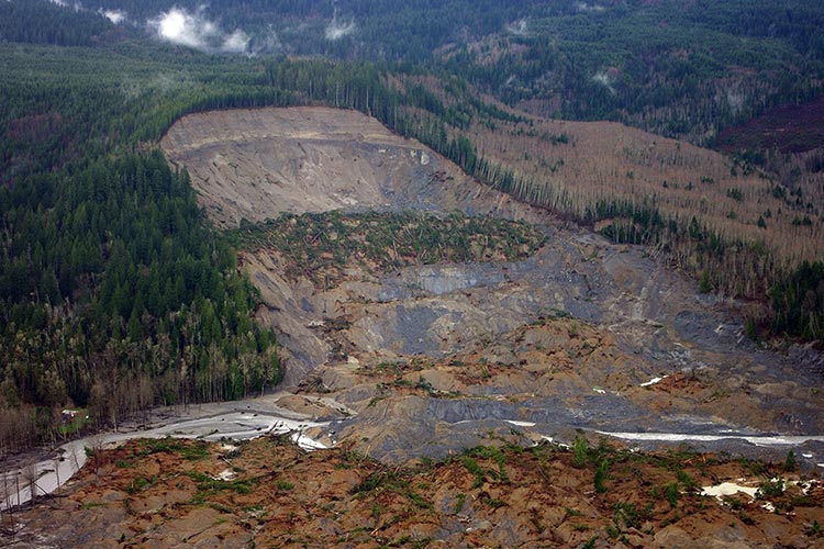
With an ever-expanding population which requires room for expansion and more resources, geologic investigations on and offshore lay the groundwork for the future. Mapping of geologic structures such as faults (on and offshore), sinkholes, landslides, and more allow us to better understand the Earth's structures and physical properties. Meanwhile, investigations into geothermal resources, permafrost, and other unique geologic features lay the groundwork for responsible resource and energy management for the 21st century and beyond.
GeoEel Solid Streamer
Discover More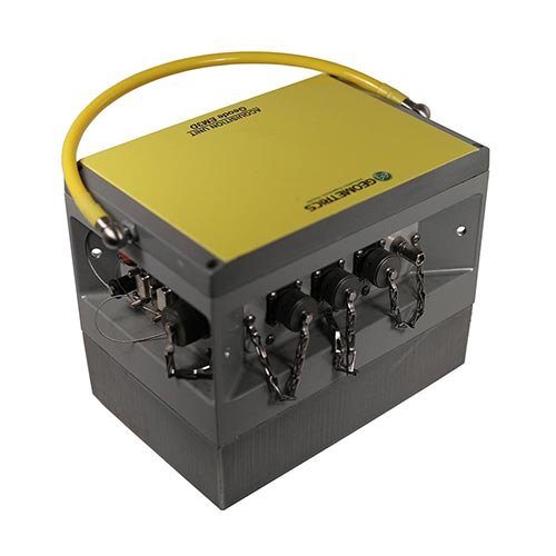
Geode EM3D
Discover More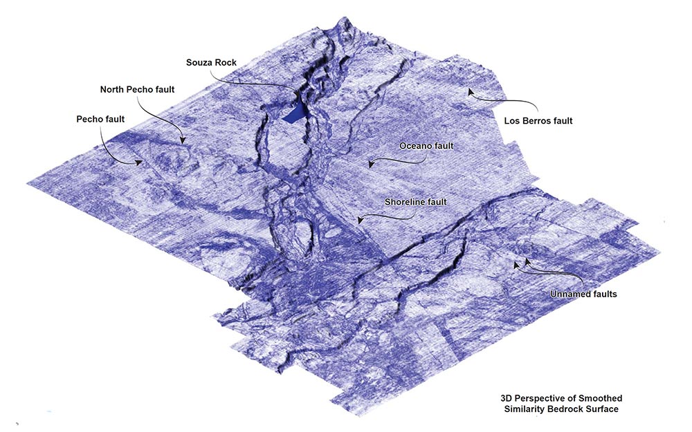
GeoEel Solid Streamer
As international trade increases and the population grows along coasts around the world the demand for marine infrastructure grows. In order to build reliable platforms and ensure the safety of the workers during construction, the need to assess potential hazards related to the subsurface geology becomes ever more important. Potential hazards include:
- Shallow gas pockets
- Boulders
- Near surface faulting
- Slide zones
Geometrics provides the tools needed to locate and identify these hazards to make the projects safer and more reliable. Our new GeoEel LH-16 Solid Streamer provides the highest resolution of any seismic streamer available.
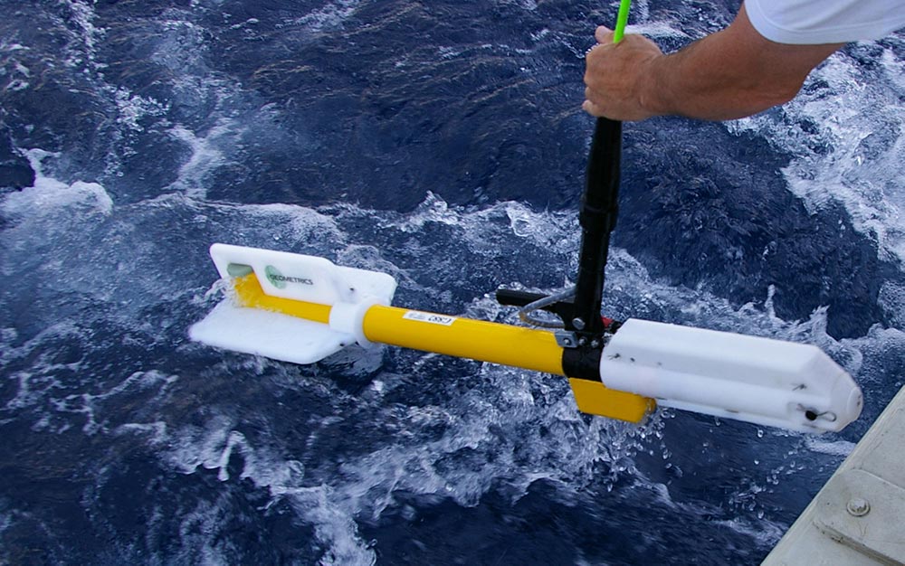
G-882 Magnetometer
The mapping of existing infrastructure, shipwrecks and items that have been dumped into the sea is critical to many marine construction projects. Often the location of older cables, pipelines, piers, and pilings is often uncertain and needs to determined so that these features can be avoided or removed prior to the construction of new features.
The G-882 Marine Magnetometer has been used in many surveys to map these potential hazards around coasts all over the world. The use of the Transverse Gradiometer (TVG) frame with two G-882s allows an even more accurate location of these underwater objects. The G-882s unsurpassed sensitivity, reliability and high sample rates allow for detailed analysis of the depth, location, and size of these objects.
P-Cable Streamer System
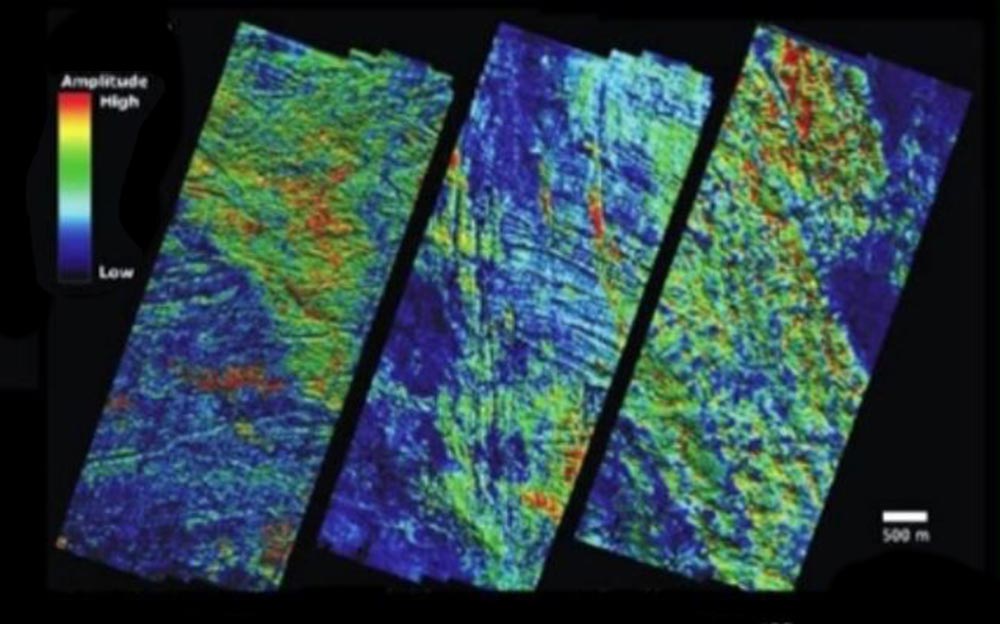
Fluid migration is a critical process in the petroleum system and describes the movement of petroleum from source rocks towards a reservoir. The general mechanism is described as the upward oil migration from carboniferous source rocks and is driven by the buoyancy differential between water and oil. Where petroleum is present, fluids and gas are constantly migrating from these reservoirs to the sea bed. Sub-ocean bottom structures related to this migration include pipes and pockmarks, and fluids frequently move along faults or geologic contacts from less permeable to more permeable rock. The GeoEel P-Cable System is a valuable tool in identifying fluid flow paths due to short offsets and dense streamer spacing. The result is dense CMP coverage with bin sizes as low as 3 m. Combined with a high-frequency seismic source the effective vertical and spatial resolution is significantly increased and can be used to develop high-resolution 3-dimensional models of the sub-ocean floor.
Understanding fluid migration paths is important for estimating petroleum reserves and reserve value as well as gas and gas hydrate accumulation. The P-cable can be used to help recognize the migration of natural gas as both commercially viable gas reserves or as hazardous high-pressure gas accumulations. High-pressure gas accumulations can be produced when gas hydrates reduce the permeability of sediments. This leads to the formation of an impermeable cap that may create significant overpressure of the gas below. High-pressure gas accumulations present a significant hazard, particularly in areas where drilling is occurring. Drilling into one of these over-pressurized reservoirs can lead to an explosion. Accurately locating these zones is a critical aspect when designing and constructing sea bed installations.
MicroEel Analog Streamer
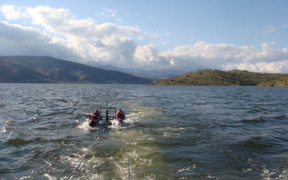
Geologic hazards can occur anywhere, which means that having the right equipment for your given project is important. It may be necessary to explore smaller lakes, or inlets and bays for potential hazards such as faults or landslides. Or in some cases, the standard GeoEel solid streamer may be too large for the survey area. With these considerations in mind we created the lightweight and compact MicroEel Analog Streamer.
The MicroEel is a small-diameter solid streamer for use with our Geode Seismograph and designed for high-resolution engineering reflection surveys. The 100% solid design minimizes or eliminates most types of streamer-borne noise, resulting in some of the cleanest records you will ever lay your eyes on. The streamer size allows for deployment from a relatively small vessel and Large-bandwidth polymer hydrophones enable the recording of extremely high frequencies, making the MicroEel a natural companion to small sources like sparkers, boomers, and even bubble pulsers. And because the streamer works with our popular Geode seismograph, data processing is the same as it would be for a land survey.
GeoEel Solid Streamer
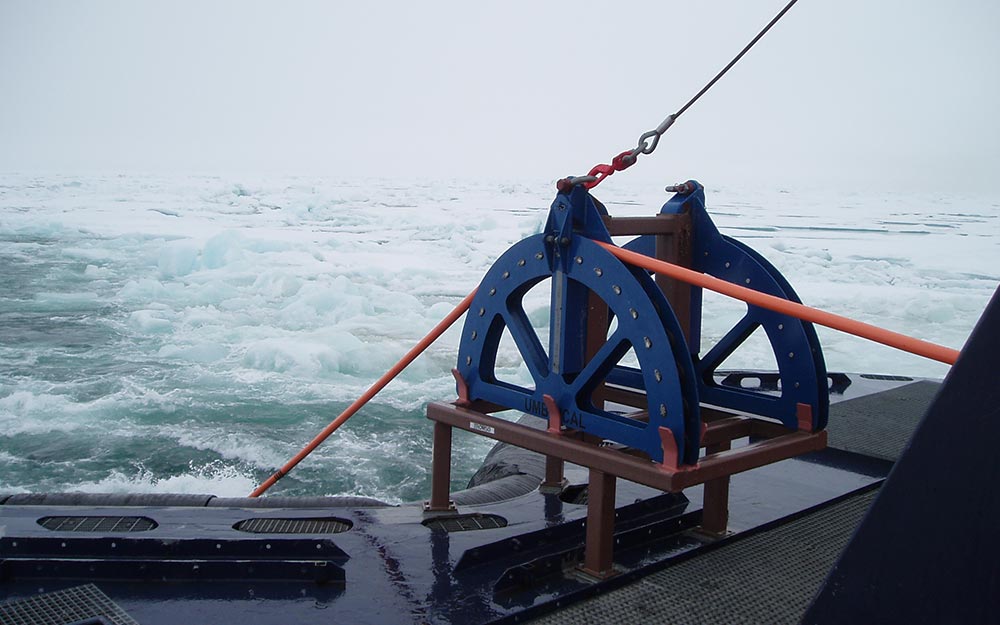
Paleoseismology is difficult on land, even with the advantage of trenching and direct observation. In marine environments, it is exceeding difficult to chart recent earthquake history, thus making it challenging to assess future seismic risk. Most of the world’s ocean-side nuclear plants were constructed prior to the existence of high-resolution seismic technology capable of imaging the near-surface features that tell us much about earthquake risk. Hence the recent controversy over the Diablo Canyon Nuclear Power plant in California, where micro-earth¬quake activity acquired over the last few decades has illuminated the so-called “Shoreline Fault”, a previously-unknown fault just offshore of the facility that has at least the potential of changing the seismic risk assessment.
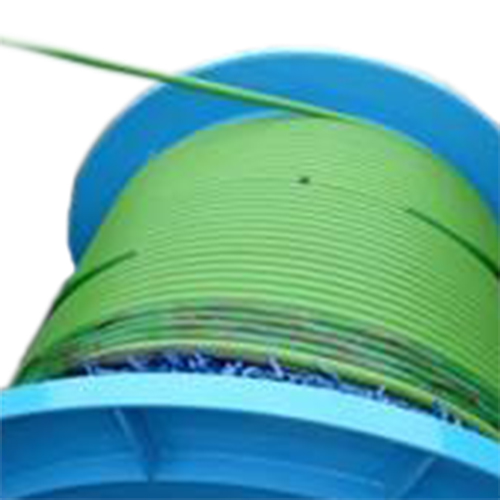
In short, we need new ways to image smaller targets. The last 30 years have witnessed amazing progress in imaging for deep exploration, but relatively little has been done at the other end of the spectrum for shallow exploration. Geometrics is leading and transforming the future of high-resolution marine seismic data with our light-weight and easy to handle GeoEel Solid Digital Streamer. With a wide bandwidth consisting of samples ranging from 1/8 to 2 milliseconds, the GeoEel solid streamer is ideal for all kinds of geologic marine investigations, such as petroleum or engineering exploration.
OhmMapper Resistivity Meter
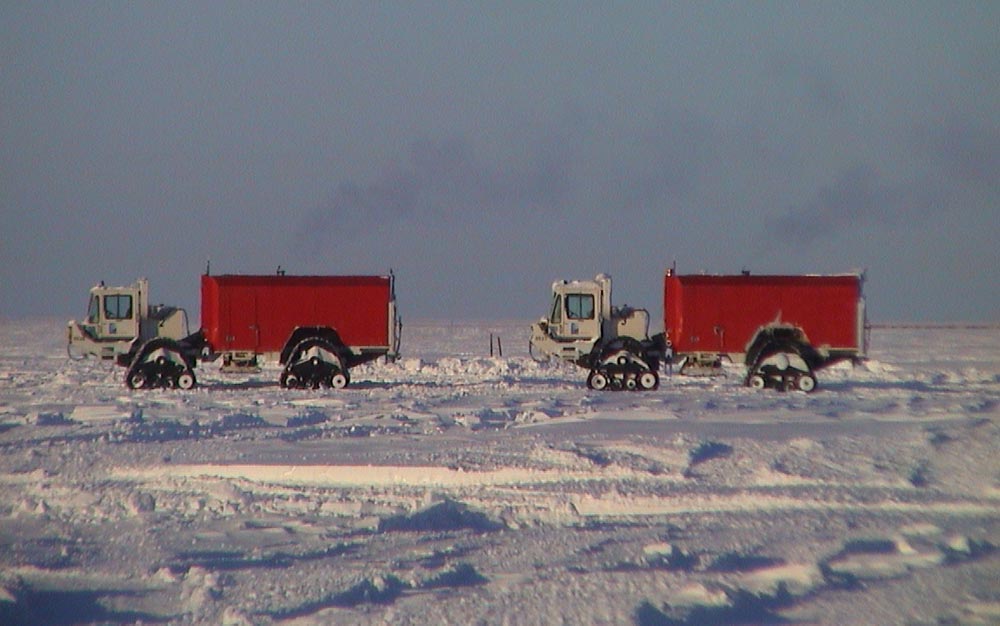
A recent concern related to global warming is the collapse of permafrost. In the northern hemisphere, permafrost occurs in approximately 25% of the land area. Thickness of permafrost may vary from less than one meter to more than 1500 meters. Researchers are using permafrost as a paleothermometer, and can model temperature fluctuations from as far back as the late 19th century in deep permafrost. Over the past several decades, permafrost temperature have generally warmed in lowlands and mountains, and in fact thawing of previously frozen ground is becoming an increasing hazard. . Thawing of previous permafrost is resulting in increased slope failures, ground subsidence in ice-rich terrain, increased lake drainage. Another major concern is the acceleration of carbon release as previously frozen ground thaws. This influx of carbon may further accelerate climate change.
Permafrost studies have taken on new importance as we continue to observe permafrost loss. The OhmMapper Resistivity Meter is an ideal tool for evaluating permafrost thickness. During the survey, current from the transmitter is applied to the ground via capacitive-coupling and the resulting potential is measured at the receiver dipole. The method has an advantage in areas where surface resistivity is extremely high and galvanic resistivity surveys encounter current injection problems. In areas of permafrost, surface resistivities exceeding 10,000 ohm-meters are often encountered. These are clearly identifiable from areas of more conductive, thawed material.
Atom Seismograph
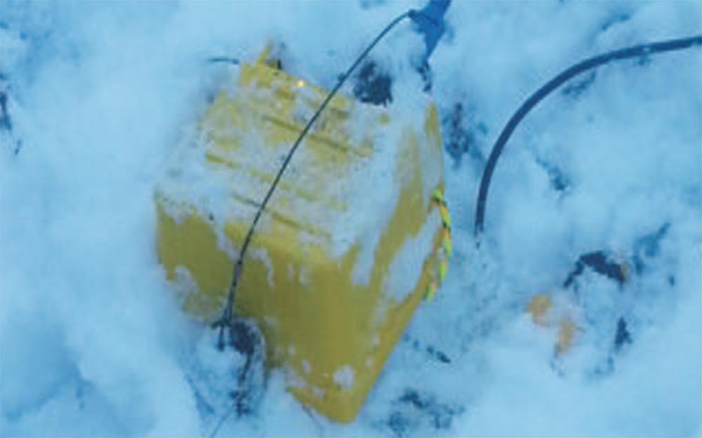
A recent concern related to global warming is the collapse of permafrost. In the northern hemisphere, permafrost occurs in approximately 25% of the land area. Thickness of permafrost may vary from less than one meter to more than 1500 meters. Researchers are using permafrost as a paleothermometer, and can model temperature fluctuations from as far back as the late 19th century in deep permafrost. Over the past several decades, permafrost temperature have generally warmed in lowlands and mountains, and in fact thawing of previously frozen ground is becoming an increasing hazard. Thawing of previous permafrost is resulting in increased slope failures, ground subsidence in ice-rich terrain, increased lake drainage. Another major concern is the acceleration of carbon release as previously frozen ground thaws. This influx of carbon may further accelerate climate change.
Frozen soil is typically far denser than unconsolidated soil. This difference results in the sharp increase in seismic wave velocities at the freezing point. This increase can be used to differentiate between frozen and unfrozen material. This method is especially useful to locate the top of permafrost, as the contrast for the P-wave velocity between the unfrozen active layer (400–1500 m/s) and the permafrost body (2000– 4000 m/s) is usually large. Changes in shear-wave velocity are also noticeable, with VS measurements between the unfrozen active layer (240-900 m/s) and the permafrost body (1200– 2400 m/s). The Atom Passive Wave Seismograph is an easy-to-use tool for evaluating the shear wave velocity (Vs) of permafrost. The seismograph consists of multiple one-channel Atom Acquisition Units and 2 Hz geophones. Research results show that the Atom, a cableless seismic acquisition unit deployed in a linear array, can simply and quickly estimate the shear wave velocity of permafrost up to a depth of 50 meters.
Geode EM3D
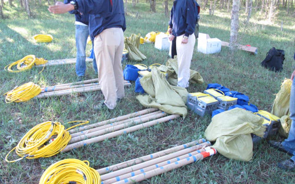
The structure of geothermal resources typically dictates a focus on two main areas of interest: A heated liquid or steam reservoir and a heat source. The reservoir is the drill target where a well is drilled to tap the energy in the heated aquifer. As a general rule, the heated reservoir will be relatively more electrically conductive (lower resistivity) than the surrounding materials. This generally makes for a good target via MT or AMT surveys, with the instrument of choice being the Geode EM3D.
In general, the depth of interest for a commercial reservoir can be in the range of 1,000 to 2,000 meters. The heat source is a deep underlying magma body that heats the reservoir. Quantifying the heat source is very important for geothermal exploration because the ultimate lifespan of the geothermal resource depends on the heat source. This is often a deep structure at 5 km depth or more and is generally mapped using magnetotelluric measurements.
MagArrow Magnetometer
Magnetic surveying is the oldest applied geophysical technique – its use first documented during the middle ages to locate magnetite ore in Sweden – and today it is still one of the most widely used geophysical methods. Magnetic minerals or objects locally affect the earth’s magnetic field, and surveyors use magnetometers to measure these spatial variations. Different rock types contain different concentrations of magnetic minerals, with negligible amounts in most sedimentary rocks but appreciable amounts in many igneous and metamorphic rocks. Rock units may contain only a small percentage of magnetic minerals, but can still be discernable with enough contrast in magnetic mineral content compared to neighboring rock units. Additionally, ore bodies may exhibit significant magnetic anomalies, depending on the type of mineralization or alteration present. This makes magnetic surveying an important technique in mineral exploration.
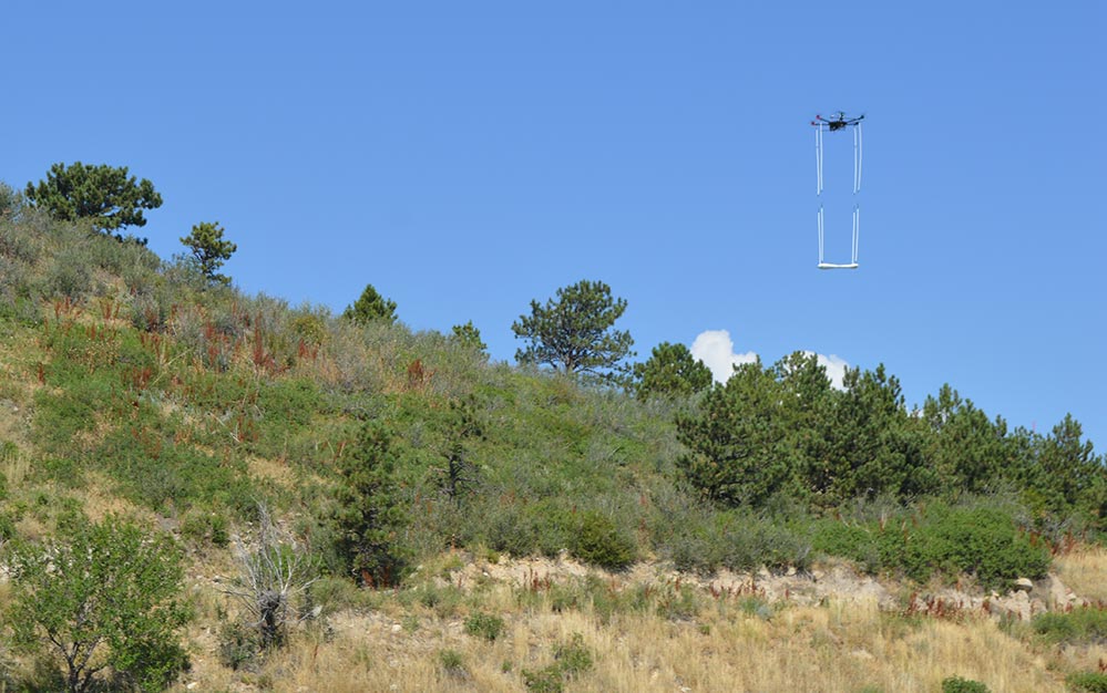
It is often necessary to map large swaths of land to locate the boundaries of rock units or to characterize the depth, size and shape of a magnetic structure. There has always been a tradeoff between traditional walking and airborne surveys. Walking surveys provide high-resolution data but can take a significant amount of field time. Airborne surveys are faster, but the resolution is much lower due to the aircraft’s speed and the magnetometer’s sample rate. In either case, data costs are impacted by increased field time or the high cost of aircraft mobilization. The MagArrow UAS-Enabled Magnetometer bridges these two scenarios, allowing for faster surveys without limiting the data resolution. The MagArrow cuts down on data costs, regardless of whether the MagArrow survey is replacing a walking survey or that performed with an aircraft. At a sample rate of 1000 Hz, the MagArrow is able to acquire data up tp 10x faster and at the same resolution than what can be acquired during a walking magnetometer survey. The MagArrow is an ideal tool to map subsurface geological information, such as the location, size, and shape of ore bodies or geologic contacts.
Geode EM3D
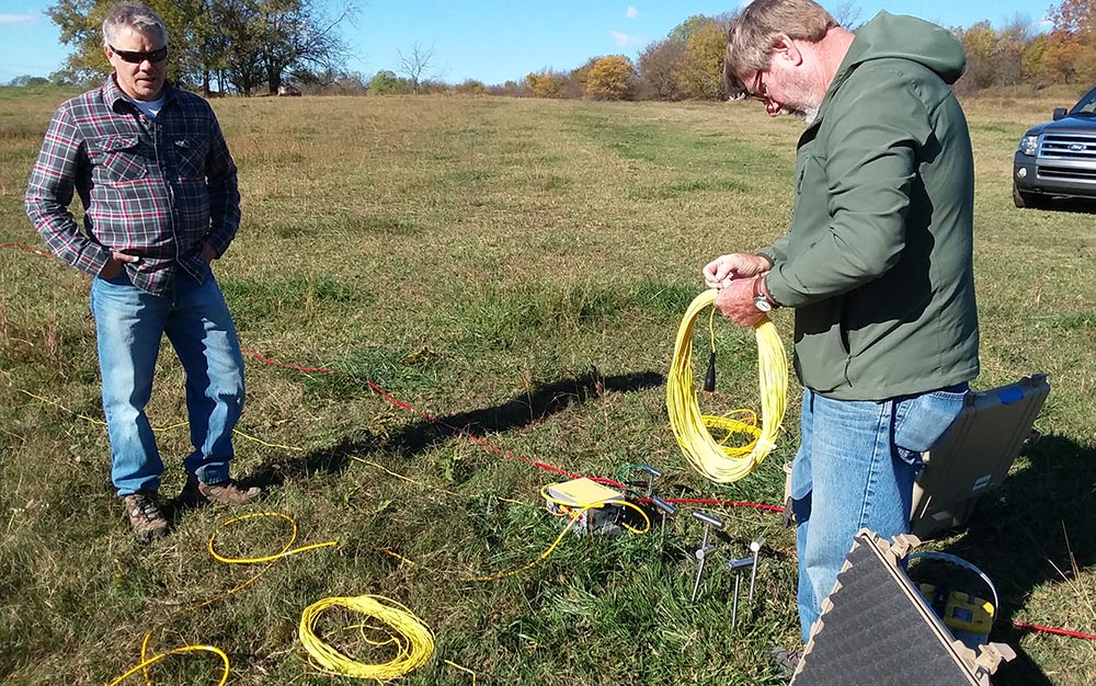
Controlled Source Audio-Magnetotellurics (CSAMT) is a valuable tool for locating and characterizing Geologic structures. At the most basic level, the CSAMT method involves transmitting a sweep of electrical frequencies into the ground at one location and measuring the return frequencies at a second location. Return signals are dependent upon the electrical resistivity characteristics of the site. The site’s resistivity structure is calculated from the ratio of magnitudes from the electric (E) and magnetic (H) fields in the x and y directions. This method is often used to explore depths of 50 to 2,500 feet.
This method is very useful for mapping resistivity contrasts at depth. Typically used for locating mineral deposits and helping to quantify resource reserves, groundwater and contaminant plume surveys, faults and karst features, and landfill surveys. The Geode EM3D system can be used in a variety of investigative fields, including those in the mining sector and in the environmental or engineering sectors. The benefit of the GeodeEM system is that it is expandable, from 6 to 140 channels, making it ideal for small to large scale 3-dimensional mapping projects.
Geode Seismograph
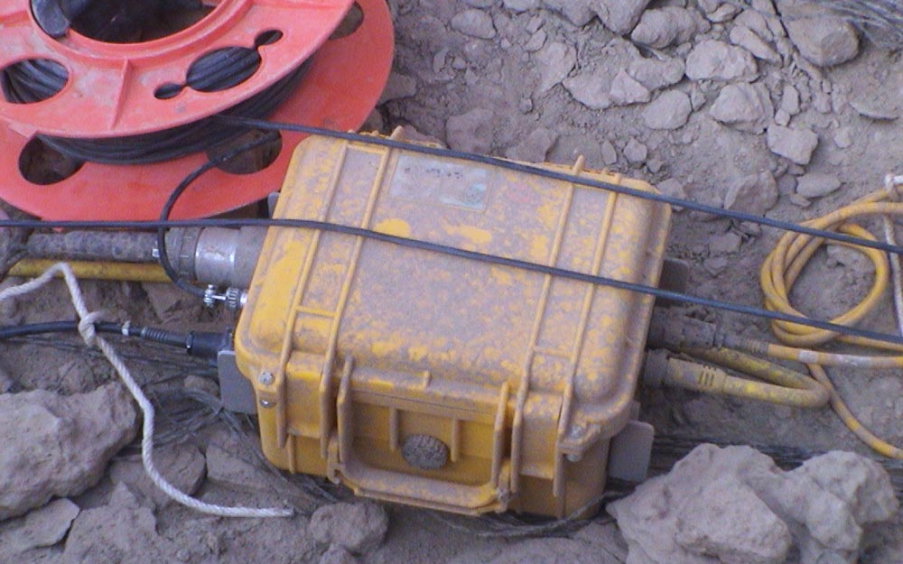
The seismic reflection technique is used to measure the time it takes for a seismic wave to travel from the source into the ground, where it is reflected and returned to the surface where it is recorded. The time measurements obtained using this technique are valuable for identifying not just the ground structure (such as faults), but also important for understanding the physical properties of the ground itself. Commonly employed in the oil industry, seismic reflection is also used for engineering applications. For engineering applications, the source is often smaller than that used for the large hydrocarbon investigations, and typically only penetrate and provide information for the top 10-50 meters.
The Geode Seismograph allows for seismic reflection profiling in both terrestrial and marine environments. On land, the geode system is used for fault investigations or for identifying subsurface structure such as buried valleys or streams. In the water, the Geode system can be used in conjunction with marine seismic streamers such as the MicroEel Analog Seismic Streamer to provide sub-bottom profiling of sediments and faulting. Researchers often use the MicroEel system to map sediment layers for determining sedimentation rates.
