Archaeogeophysical surveys (geophysical surveys done for archaeological reasons) are increasingly being planned and commissioned for, both for small and large scale archeological investigations. Detailed surveys using geophysical methods can help supplement information from archaeological excavations or even lead to major archaeological breakthroughs. Additionally, geophysical surveys can prove useful as reconnaissance projects over large areas to quickly asses their potential for archaeological structures/artifacts.
G-864 Magnetometer

Discover More
MagArrow UAS-Enabled Magnetometer

Discover More
Cemetery Investigations

G-864 Magnetometer

Unmarked graves are often a common occurrence at historic cemeteries, and when unmarked graves need to be located and/or discovered, examining the mineralogy of the near surface is the preferred method. Differences in the iron mineralogy of soils within the first meter or so of the surface can be detected and can produce "anomalies" in the data when plotted as contour lines of equal magnetic field strength. Such mineralogical differences can be natural. They can also result from excavations in the soil that replace the natural profile of the subsoil with intrusive amounts of topsoil or by placing into the subsoil objects of different iron content. The natural or geological differences tend to be broad in their range while the intrusive changes are shorter in range. Iron metal objects produce anomalies that are relatively strong and can usually be recognized as metal.

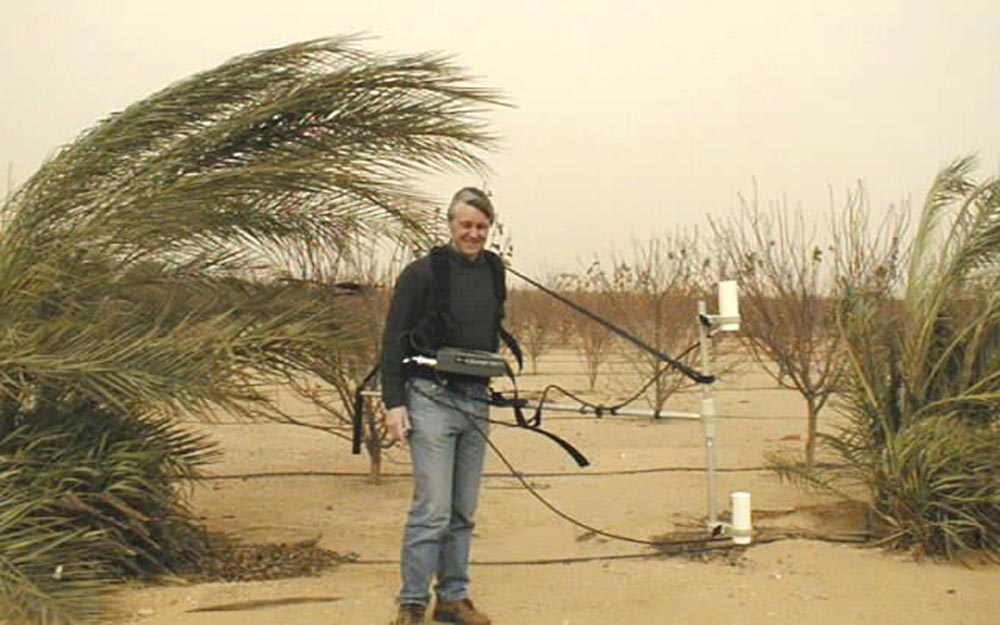
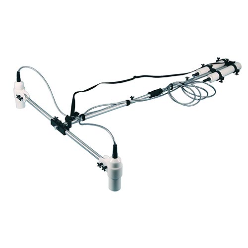
In order to make such finely detailed measurements, a magnetometer with a gradiometer setup is required. The G-864 Magnetometer with a two-sensor gradiometer setup is able to identify and resolve subtle differences in the magnetometry of the subsurface. The sensor separation creates a difference in magnetic readings between sensors and the resulting data approximates a total field reading. This operation cancels out time changes of the magnetic field as well as suppressing long-range trends in the background field, perfect for unmarked grave detection.

G-858 Magnetometer

Unmarked graves are often a common occurrence at historic cemeteries, and when unmarked graves need to be located and/or discovered, examining the mineralogy of the near surface is the preferred method. Differences in the iron mineralogy of soils within the first meter or so of the surface can be detected and can produce "anomalies" in the data when plotted as contour lines of equal magnetic field strength. Such mineralogical differences can be natural. They can also result from excavations in the soil that replace the natural profile of the subsoil with intrusive amounts of topsoil or by placing into the subsoil objects of different iron content. The natural or geological differences tend to be broad in their range while the intrusive changes are shorter in range. Iron metal objects produce anomalies that are relatively strong and can usually be recognized as metal.

In order to make such finely detailed measurements, a magnetometer with a gradiometer setup is required. The G-858 MagMapper Magnetometer with a two-sensor gradiometer setup is able to identify and resolve subtle differences in the magnetometry of the subsurface. The sensor separation creates a difference in magnetic readings between sensors and the resulting data approximates a total field reading. This operation cancels out time changes of the magnetic field as well as suppressing long-range trends in the background field, perfect for unmarked grave detection.

Artifact Detection

MagArrow Magnetometer

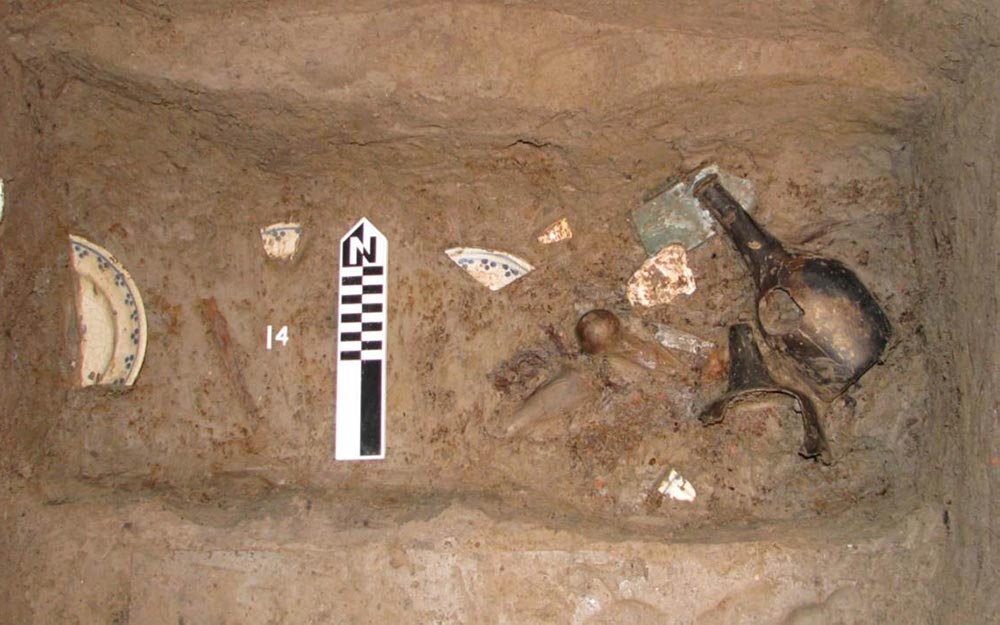
Archaeological materials of importance can range dramatically in size, shape, composition, density, and also magnetically. Using reference tables of established magnetic signatures for common items of archaeological importance, and a high-resolution magnetometer, it is possible to identify previously undiscovered archaeological artifacts of importance hidden beneath the subsurface.

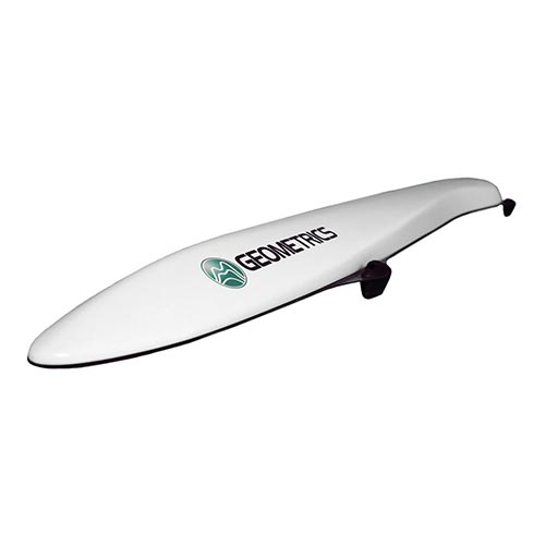
For discovering larger artifacts such as 55-gal drums, iron slag, horse shoes, or even mortar shells across a large survey area, the MagArrow UAS-Enabled Magnetometer allows for rapid surveying and accurate locating based on our revolutionary MFAM technology and emerging UAS technology.

G-864 Magnetometer

Archaeological materials of importance can range dramatically in size, shape, composition, density, and also magnetically. Using reference tables of established magnetic signatures for common items of archaeological importance, and a high-resolution magnetometer, it is possible to identify previously undiscovered archaeological artifacts of importance hidden beneath the subsurface.

When finding smaller or less-obviously magnetic artifacts are the objective, such as nails, roof tiles, sherds, or bricks, the G-864 Magnetometer configured with a gradiometer setup is the magnetometer of choice. The seperation between sensors cancels out time changes of the magnetic field as well as suppressing long-range trends in the background field, perfect for high-resolution magnetometry archaeological investigations.

Archaeological Structure Identification

G-864 Magnetometer

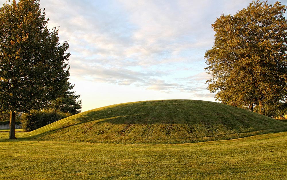
Due to differences between the magnetic sugnature of building materials and the surrounding subsurface, magnetometers are often able to discern magnetic anomalies which when excavated reveal the remnants of the original structure. Even earthen structures such as trenches can be detected using magnetometry as there is often a difference in minerology between the subsurface and filled in material (for a trench let's say).

To detect such subtle archaeological structures, a magnetometer with a two sensor gradiometer setup is required. The G-864 Magnetometer is capable of performing geophyisical reconnisance over large areas for the purpose of identifying possible archaeological structures, and it's innovative tablet-based software can ensure an area is surveyed thoroughly with even line spacings. To learn more about how magnetometers can be used to identify archaeological structures (earthen in this example), please visit The Moundville Plaza Project blog.

Cultural Resource Management

MagArrow Magnetometer

Certain archaeological sites are known to exist based on historical knowledge and can be sensative in nature. To first locate and document these sites without any possibility of destruction, it is required to perform aerial archaeological surveys. Lidar (light detection and ranging) technology, high-resolution aerial photography, and now UAS-enabled magnetometry make completely non-destructive archaeological surveys possible. In this way it is possible to document and learn more about archaeological monuments, all without touching the ground. These new aerical archaegeophysical techniques also can used to identify potential archaeological sites of interest over vast areas, in inaccessible locations, or even underwater!

Weighing only 1 kg, the MagArrow UAS-Enabled Magnetometer is the only magnetometer capable of performing aerial magnetic archaeological surveys of this kind, and at a very high resolution thanks to revolutionary MFAM technology developed in-house at Geometrics.