Environmental/Ground Water Studies
Environmental remediation efforts, groundwater/aquifer mapping, and near surface geophysical surveys for utilities are all connected, yet use a variety of different geophysical tools in order to be most competitive. Groundwater mapping can range from shallow to deep, with tools such as the Geode EM3D allowing us to see the Earth's aquifers in high detail. In order to drill to those aquifers, either for access or remediation, shallow geophysical utility surveys must be completed. Over small or large areas, magnetometers are one of the best tools of choice. A magnetometer with a gradiometer setup can very accurately detect near-surface magnetic anomalies such as a pipeline, old infrastructure, or even abandoned wells. For vast tracks of land, the MagArrow Magnetometer is the UAV-enabled magnetometer backed by the industry. For smaller areas, the G-864 Magnetometer is our latest ground magnetometer. Explore the topics below to discover how our geophysical equipment has been used in the field.
MagArrow Magnetometer
Discover More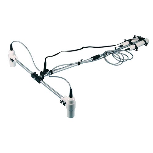
G-864 Magnetometer
Discover More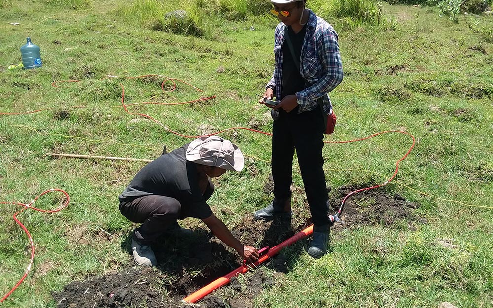
Geode EM3D
Geophysical groundwater exploration requires the interpretation of subsurface hydro-geologic structures to determine the best place to drill. The Geode EM3D is used to map the underlying geology to depths of up to 1,000 meters and more, and when used responsibly can save on overall project costs, time, and improve drilling accuracy. The interpretation of the geology to hydro-geology requires a knowledge of the local aquifer structures.
For example, in a sedimentary basin the aquifer is commonly a paleochannel, a porous, sand and gravel channel originally deposited as a river bed. In ancient layered marine deposits the water-bearing sand and gravel layer is usually sandwiched between layers of high-clay-content deposits. The clay bearing layers have very low porosity and low resistivity. The sandy aquifer has high porosity and high resistivity. In this case the place to drill is where you see a relative resistor sandwiched between conductive layers. However if the water bearing structure is a weathered fault zone in an igneous or highly metamorphic environment. The base material will be highly resistive. The weather water-bearing fault zone will be relative less resistive. That means in this case you are looking for a relative conductor as your drilling target.
In order to make these drilling decisions the groundwater exploration specialist must have high quality resistivity data, and here the Geode EM3D is unrivaled technologically.
Geode Seismograph
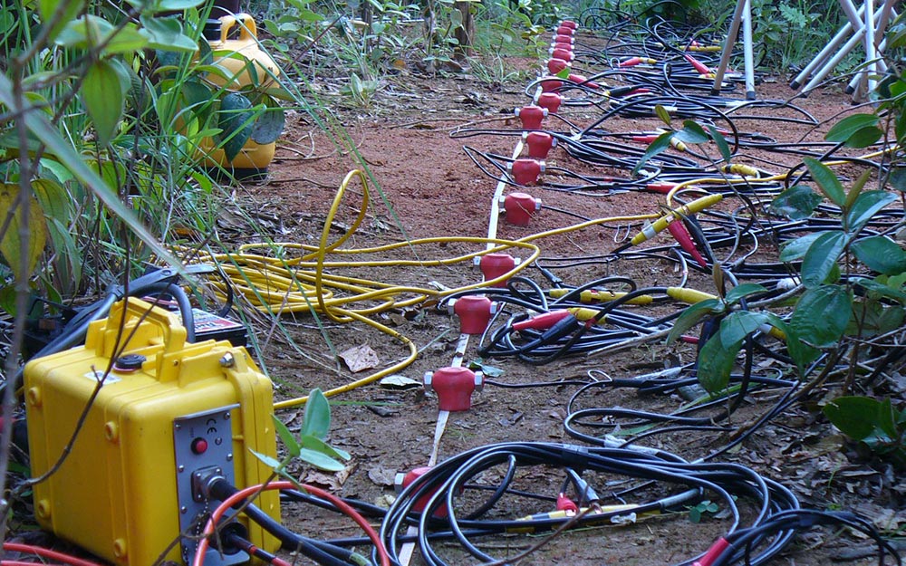
Determining the depth to a shallow water table is a common hydrologic goal, and seismic refraction techniques may reduce the often considerable expense associated with water exploration. Refraction occurs as seismic waves travel away from a source and cross a boundary between geologic layers of differing densities. Because seismic energy travels through unconsolidated, unsaturated sands and gravels at approximately 400 to 1,600 ft/s, and travels through saturated sands and gravels from 4,000 to 6,000 ft/s, seismic-refraction methods will generally be successful in determining the depth to water. The technique may be used to: (1) determine the depth to and thickness of the saturated and unsaturated aquifer material (provided it has a significant thickness and velocity contrast); (2) determine the depth to bedrock and provide information regarding the general bedrock type; (3); determine the depth to the water table in unconsolidated materials (provided the saturated section is thicker than the unsaturated section); (4) plan an effective and economical drilling program; and (5) obtain data in areas not easily accessible to drill rigs.
The seismic refraction method is best performed in locations with rock or a dense soil or ground surface, and away from cultural noise. The method relies on the precise measurement of travel times between the source (such as a hammer and aluminum plate) and the geophones. The Geode Exploration Seismograph system is ideal for aquifer investigation, with the capability of expanding up to 1000 channels for both 2D and 3D surveys depending on your field geometry. Such use of seismic refraction techniques will minimize expensive data-collection activities and will result in higher quality, more efficient hydrologic modeling studies.
MagArrow Magnetometer
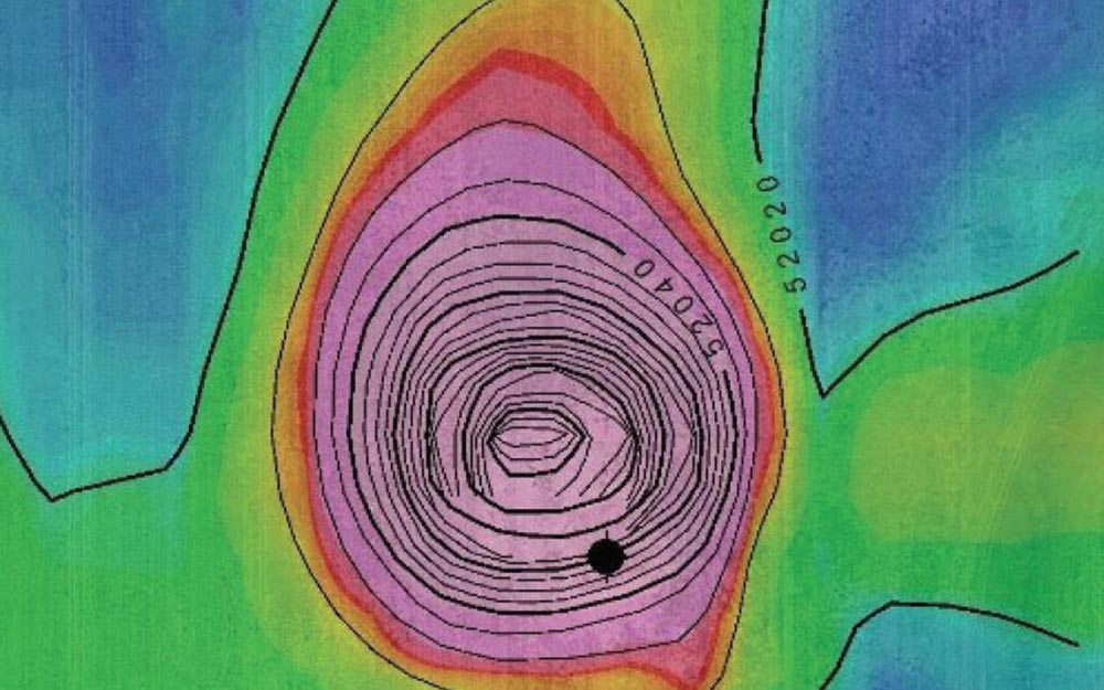
Magnetometers measure lateral intensity variations in the earth’s magnetic field and are capable of detecting even very small changes in the magnetic gradient. Ferrous items such as underground storage tanks (USTs), abandoned wellheads, and pipelines may create a secondary magnetic field that interacts with the earth’s field. This interaction creates measurable magnetic anomalies. Abandoned wellheads, USTs and pipelines can present a severe environmental risk. UST’s may leak and are frequently a source of contaminants. Many such tanks are abandoned and will need remediation. The same is true for buried pipes, some of which are abandoned but still present in the ground. Abandoned wellheads may be an even bigger threat. Oil, gasses, and other toxic and smelly substances may leak from the ground and into our water supply, sometimes for decades, before being found and capped. In some situation, subsidence at these wellheads may lead to large-scale ground collapse, and in the most extreme cases, lead to large scale flooding with high-salinity waters forming large lakes.
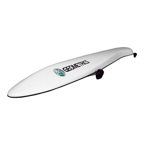
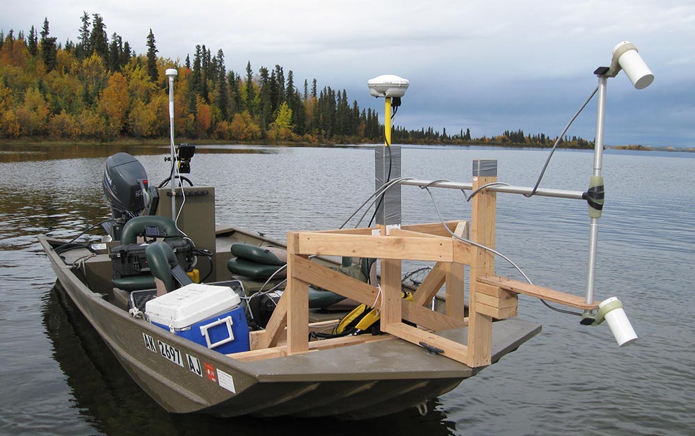
One of the biggest problems for locating USTs, pipes, and abandoned wellheads is the sheer number of them. They may be clustered or spread out, and locating them may be difficult for this or access related reasons. The MagArrow UAS-Enabled Magnetometer is the ideal solution for rapidly surveying large swathes of land. It can be flown over areas otherwise inaccessible or close enough to the ground to track pipelines. The MagArrow magnetometer is capable of collecting data up to 10x faster than a traditional walking survey, thus lowering the survey cost while still providing the same high-quality data you expect from a Geometrics’ instrument.
G-864 Magnetometer
Magnetometers measure lateral intensity variations in the earth’s magnetic field and are capable of detecting even very small changes in the magnetic gradient. Ferrous items such as underground storage tanks (USTs), abandoned wellheads, and pipelines may create a secondary magnetic field that interacts with the earth’s field. This interaction creates measurable magnetic anomalies. Abandoned wellheads, USTs and pipelines can present a severe environmental risk. UST’s may leak and are frequently a source of contaminants. Many such tanks are abandoned and will need remediation. The same is true for buried pipes, some of which are abandoned but still present in the ground. Abandoned wellheads may be an even bigger threat. Oil, gasses, and other toxic and smelly substances may leak from the ground and into our water supply, sometimes for decades, before being found and capped. In some situation, subsidence at these wellheads may lead to large-scale ground collapse, and in the most extreme cases, lead to large scale flooding with high-salinity waters forming large lakes.
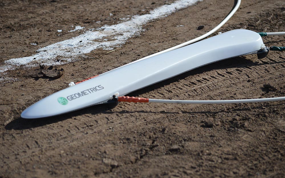
One of the benefits of using a magnetometer is the relatively high number of measurements that can be taken in a short amount of time. The G-864 Magnetometer is our latest land magnetometer, incorporating Geometrics’ quality with the latest in modern technology. The G-864 works with our Android Acquisition software and allows the user to collect data using any Android device. Save time in the field by defining your geometry in advance, and then visualize your data on a color map before leaving the site. Modern user interface allows you to cover more area faster, lowering your survey costs while still providing top quality data.
MagArrow Magnetometer
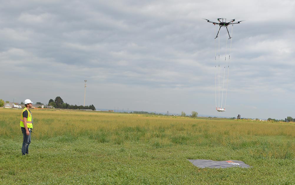
Utility Surveys are becoming increasingly complex, requiring deeper measurements too, and over larger areas. To fulfill that industry need, Geometrics built the MagArrow Magnetometer based upon our revolutionary MFAM magnetometer. The MagArrow is a UAS-Enabled Magnetometer, and this mode of transportation allows it to collect magnetic datasets over large areas quickly. The MFAM magnetometer built inside of the MagArrow samples at 1000 Hz, so high resolution magnetic data can still be collected. Flying at height, much of the surface magnetic "noise" can be removed, and surveys for larger objects such as a buried pipeline become easier.
G-864 Magnetometer
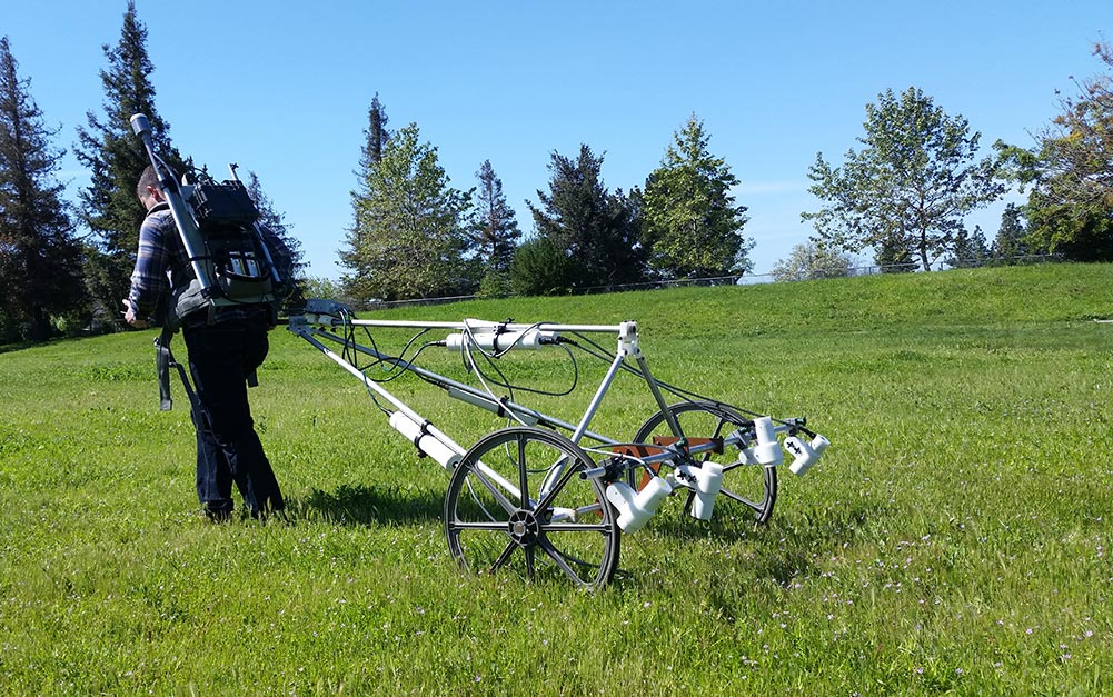
While magnetic surveys over vast distances are increasing in use, extremely high resolution surveys are likewise taking place at an increased rate. Land-based magnetometer use has in the past been mostly reserved for the geophysicist, but newer intuitive magnetometers like our G-864 Magnetometer have been expanding magnetometer use to the less trained. A new tablet based UI makes setup and operation in the field easy, and a redesigned carrying system makes setup and surveying easier. For the power user, customizable survey parameters are easily adjusted using the tablet, and simpler surveys, a quick boot and start time makes surveying efficient. With the G-864 Magnetometer, near surface utilities such as electrical and high voltage lines are easily plotted. Other utilities such as gas and water will also show clearly if housed in metal pipes. Unknown utilities or anomalies are often detected, and with the precision required for examination.
MagArrow Magnetometer
Magnetometers measure lateral intensity variations in the earth’s magnetic field and are capable of detecting even very small changes in the magnetic gradient. Ferrous items such as tanks, drums, or nails create a secondary magnetic field which interacts with the earth’s field to create magnetic anomalies. As ferrous items are often found in landfills, magnetometers provide a valuable tool for delineating these areas.
One of the benefits of using a magnetometer is the relatively high number of measurements that can be taken in a short amount of time. Magnetic data is easy to collect, but the survey cost is often predicated on the rate at which the surveyor can collect data. The MagArrow UAS-Enabled Magnetometer can reduce the survey time by up to 10 times that of a walking survey on flat terrain. In difficult terrain such as mountainous or brushy regions, or in sensitive zones or areas where contamination is a risk, the drone-mounted MagArrow may increase survey speeds even further.
OhmMapper Resistivity Meter
Electrical resistivity methods are a useful tool for overcoming many of the obstacles frequently encountered in landfill characterization. At most sites, there are measurable contrasts between the soils and landfill material. Because the size of a landfill is often unknown, one of the biggest benefits of using resistivity methods is to characterize both the lateral and vertical extents of these sites. Soil and materials beneath a landfill are often contaminated by leakage from the waste, where it may pose a severe threat to groundwater resources.
Leachate from landfills frequently have a high ion content, which correlates to low resistivity. Anomalously low resistivity may thus indicate areas where the soil is contaminated. The resistivity method works because low resistivity correlates with high ion contents in groundwater.
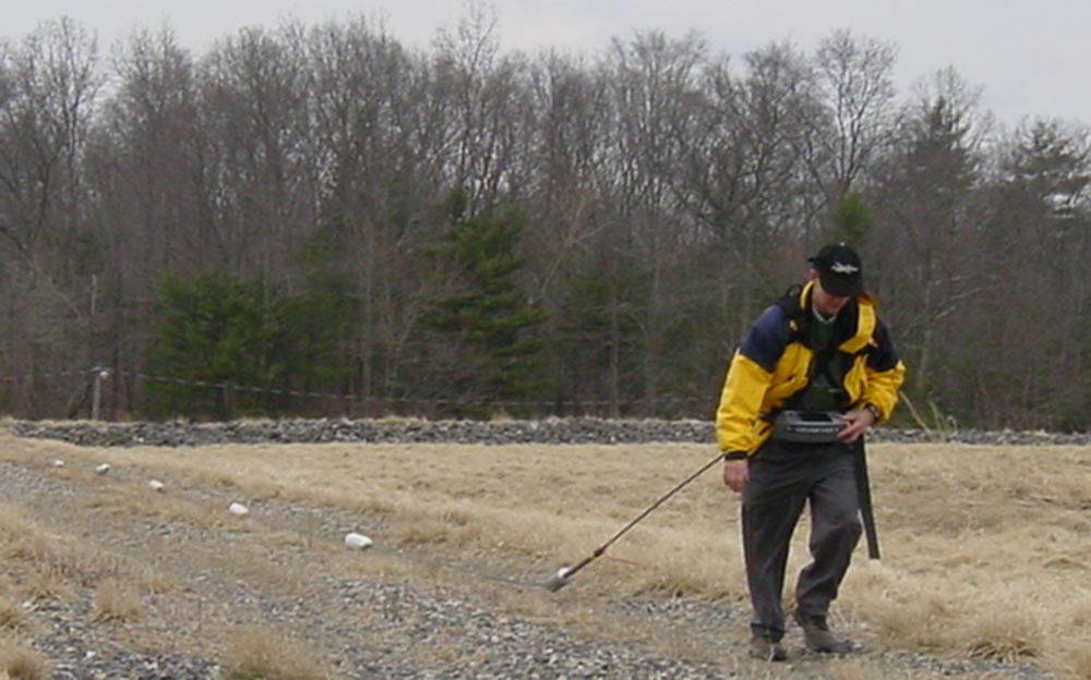
The OhmMapper Walking Resistivity Meter measures soil resistivity quickly, and data may be processed to produce either 2- or 3-dimensional graphical interpretations of subsurface conditions. The unit is easily deployed by one person in the field, or for larger surveys from a small ATV. Data acquisition is nearly continuous, and is many times faster than traditional resistivity tests that require stakes and tedious measurements. Contact us for more information on using an OhmMapper to assist in your surveying needs.
G-864 Magnetometer
Magnetometers measure lateral intensity variations in the earth’s magnetic field and are capable of detecting even very small changes in the magnetic gradient. Ferrous items such as tanks, drums, or nails create a secondary magnetic field which interacts with the earth’s field to create magnetic anomalies. As ferrous items are often found in landfills, magnetometers provide a valuable tool for delineating these areas.
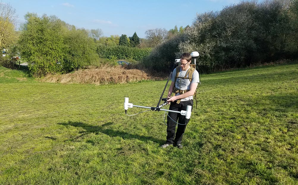
One of the benefits of using a magnetometer is the relatively high number of measurements that can be taken in a short amount of time. The G-864 is our latest land magnetometer, incorporating Geometrics’ quality with the latest in modern technology. The G-864 Magnetometer works with our Android Acquisition software and allows the user to collect data using any Android device. Save time in the field by defining your geometry in advance, and then visualize your data on a color map before leaving the site. Modern user interface allows you to cover more area faster, lowering your survey costs while still providing top quality data.
