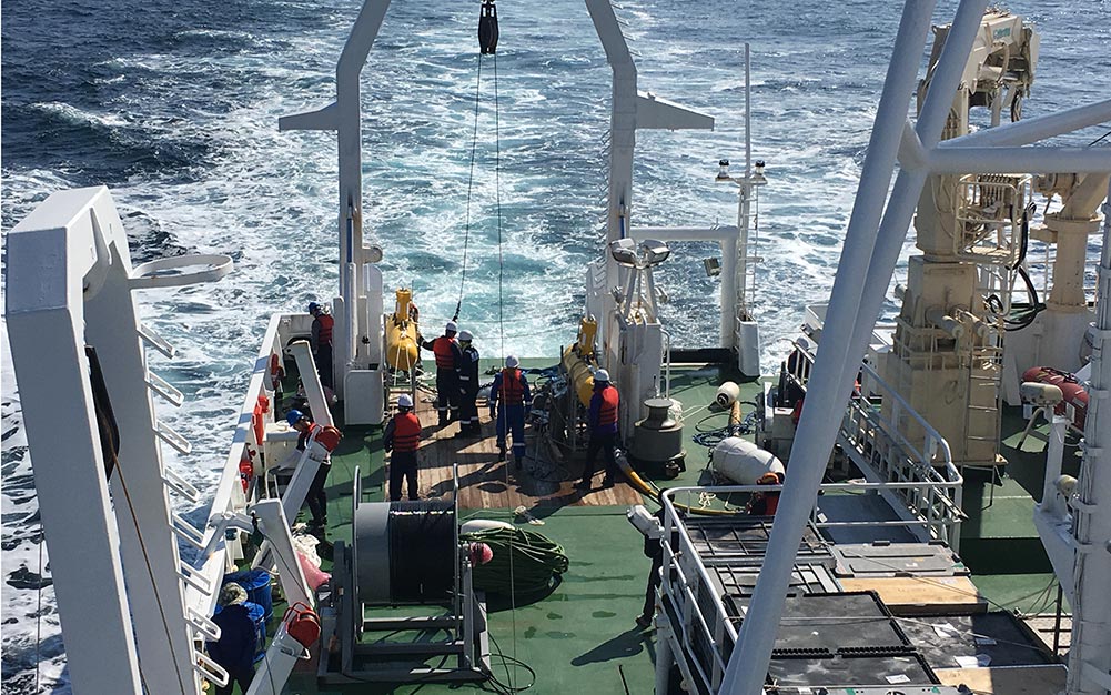
GeoEel Solid Streamer
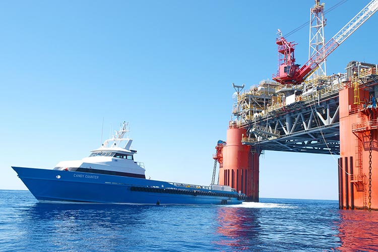
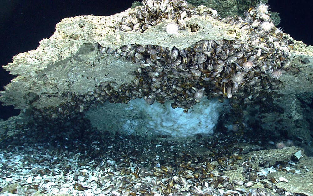
As the world's thirst for energy continues, the risks we are taking to find and produce our finite supply of fossil fuels will only intensify. Disasters such as the 2010 explosion of the Deepwater Horizon off the coast of New Orleans is a prime example of why it is crucial to minimize these risks. High resolution imaging of the sub-ocean bottom is one vital technique for risk reduction. The GeoEel Solid Digital Streamer is an innovative tool in hazard assessment and is used worldwide for estimating hazard potential such as faulting or landslides, as well as for assessing potential energy resources such as gas hydrates.
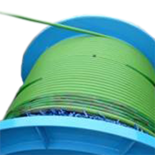
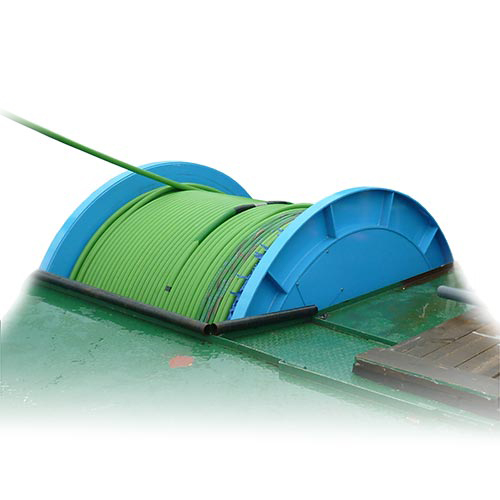
The GeoEel Solid Digital Streamer is the smallest diameter solid design available. At only 44.5 mm, the GeoEel is easy to deploy, easy to transport and easily shipped by air. The 100% solid construction, coupled with our proprietary polymer hydro¬phone design, eliminates bulge waves and other cable-borne noise, yielding very low towing noise at lower frequencies than any liquid streamer. The GeoEel communicates via 100 MBs Ethernet with the Geometrics CNT-2 controller, running field-proven acquisition software that is used on 100+ installations worldwide.
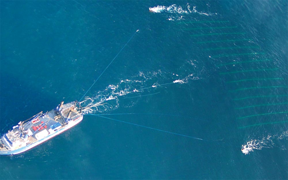
GeoEel P-Cable System
Assessing potential energy resources (and hazards) such as gas hydrates requires new methods of high-resolution imaging. The Geometrics’ P-Cable system relies on our proven GeoEel Solid Streamer combined with the P-Cable Cross Cable and GeoEel 8-channel A/D Module for true 3-dimensional surveying. The system is convertible to a full-featured 2-dimensional system, making it useful for both high-resolution 3-dimensional acquisition and 2-dimensional regional surveys. It is also possible to acquire several different target areas during a single survey by combining different acquisition modes of the P-Cable system. This means that the P-cable can be used for both prospecting and exploring during the same survey, thus lowering survey expenses.
The GeoEel P-Cable System is based on the GeoEel Solid Streamer technology, which means that strumming noise is minimal and the system is immune to bulge waves. In addition, because the streamers are solid and not liquid, they are environmentally friendly. If a streamer is punctured, it will not leak oil into the sea. Other features include having an array expandable to 300 meters, meaning that it is possible to collect up to 50 km2 per day at 5 knows and with a bin spacing of 6.125 meters. The system provides 3-dimensional coverage and full 3-dimensional migration for better resolution of more complicated geometries. Plus, the system is robust and can be easily and rapidly deployed with minimal crew, deployable from smaller vessels than those typically used for marine seismic surveying.
