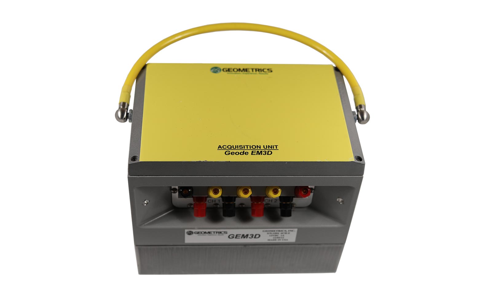
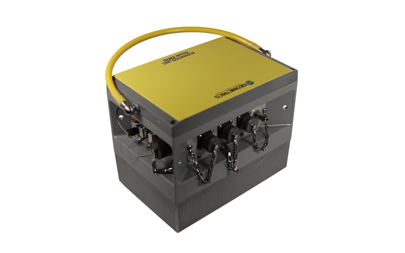
Description
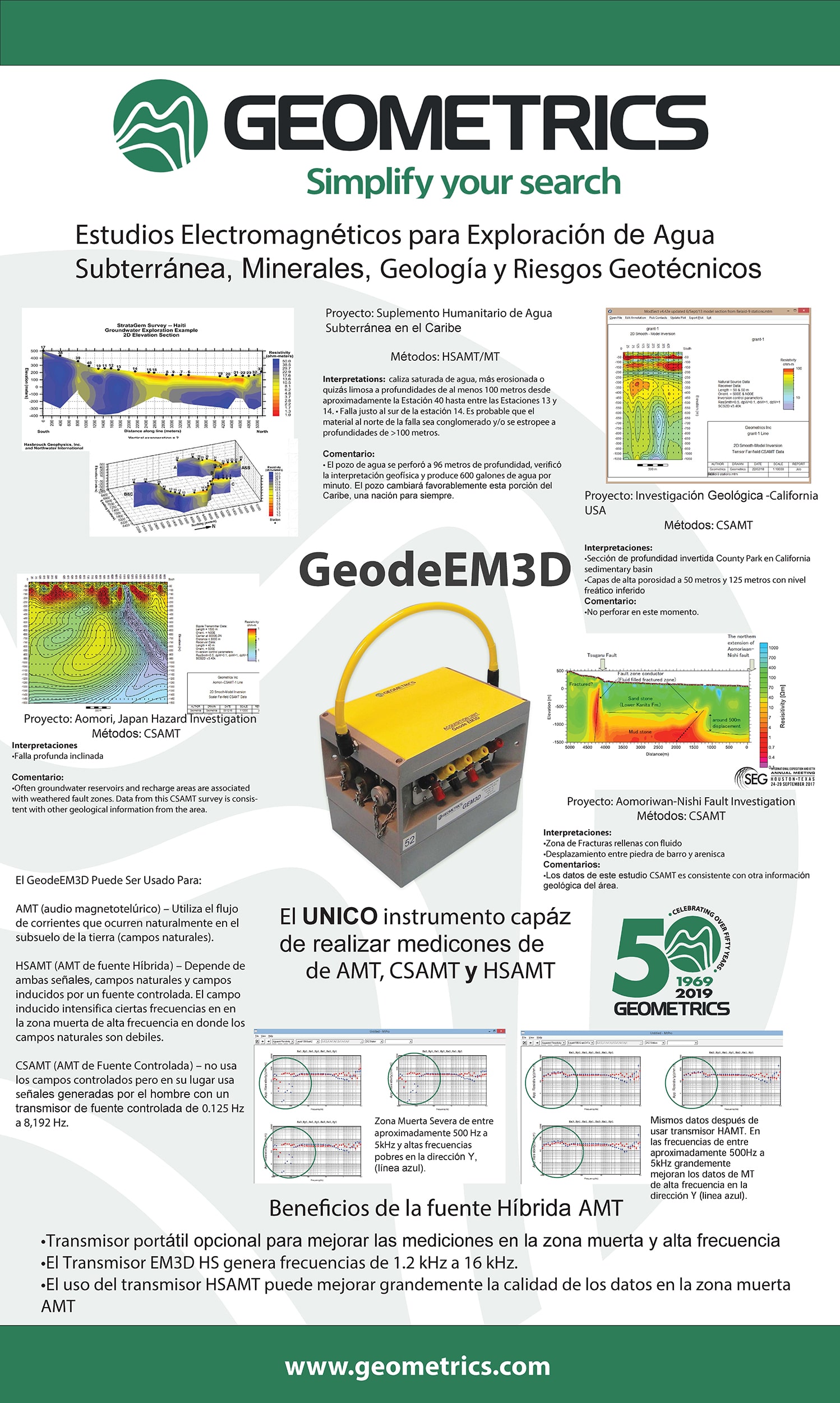
The Geode EM3D is a revolutionary instrument capable of high-resolution, high-quality resistivity mapping to depths of 1,000+ meters. The Geode EM3D has the flexibility to do traditional audio magnetotellurics (AMT), hybrid-source AMT (HSAMT), and controlled-source AMT (CSAMT). For CSMAT configurations, a high power transmitter is provided. Traditional electromagnetic (EM) methods require multiple station setups and are time-consuming, thus impractical for obtaining the high resolution required in today’s competitive mining environment. The Geode EM3D allows a single setup of all stations and one transmitter run for acquisition of all 50 sounding at the same time.
The Geode EM3D allows for closely spaced soundings based on a common network of stations, and for greater flexibility, the instrument is designed to interface to a range of commercially available controlled-source geophysical transmitters. The Geode EM3D can be used as a single-receiver, six-channel instrument with (HSAMT or CSAMT) or without a transmitter (AMT). The individual receiver modules can also be linked together in a reliable Ethernet network for from 12 up to 120 channels and more of EM sensors. With the Geode EM3D complete your surveys faster and in higher resolution, taking the guesswork out of mineral exploration!
Features and benefits
- Excellent Data Quality: Collect excellent data even in the high-frequency dead zone for high-quality measurements from 0.1 Hz to 20,000 Hz. Ultra-low noise analog front end. Get great data from shallow to deep on a single sounding.
- Easy Expandability: Using a reliable Ethernet network solves the problems of GPS dropouts or lost satellite lock, line-of-sight communication failures, radio of WiFi communication failures, and blocked antennas.
- Simultaneous Soundings: Perform three simultaneous soundings with a single receiver and six soundings at the same time with two receivers – more data in less time than traditional instruments.
- Field Flexibility: Survey using audio magnetotellurics (AMT), hybrid-source audio magnetotellurics (HSAMT), and controlled source audio magnetotellurics (CSAMT) with the addition of the controlled-source transmitter. Either scalar of full tensor calculations for both AMT and CSAMT operations.
- Real Time Data: View a real-time display of apparent resistivities, impedances, phase, Bostick true resistivity and depth values, MT rotation values, tipper calculations, and more even during acquisition! More data for quality control to know the quality of the data immediately in the field.
- Built In Troubleshooting: Automated contact resistance measurements on all electric dipoles. Automatic AC and DC noise values on all electric and magnetic channels – tells you what is your noise environment and provides troubling shooting tool.
- GPS: Calculate all GPS positions for an entire survey line with a single GPS measurement for any one dipole – fast accurate GPS positions
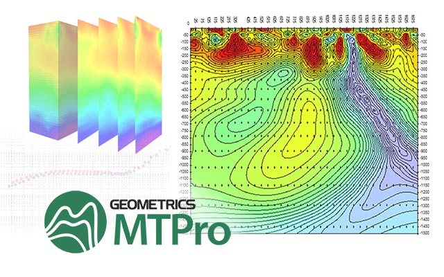
- Control Your Data: Export of multiple file types for use in third-party processing, inversion, and interpretation software supported. Examples are AVG files for Zonge SCS2D software, EDI files for Schluberger’s WinGLink – CGG’s GeoTools – most academic software, DAT files of Bostick values for Surfer or other contouring programs.
Technical Details
Downloads
TYPICAL USES
- Mapping of geology to 1,000 meters and more for mining and minerals exploration
- Mapping of hydro-geologic features for groundwater exploration
- Geothermal reservoir mapping to 2,000 meters depth
- Shallow oil and gas exploration to 2,000 meters depth
- Deep geotechnical and engineering application such as mapping of deep structure for future dam sites, characterizing potential nuclear waste deposit integrity, view geology
- structure for deep mountain tunneling, etc
- Excellent tool for academic research and teaching
Geode EM3D Espanol Infographic
Download the Geode EM3D Espanol Infographic